GIS Analyst
Hello My Name is Alex West. I am an aspiring GIS developer and Burgening GIS analyst. I am also a graduate from Texas State University (B.S. GIS). My personal research interests include remote sensing, cartographic design and applications of GIS. I have a passion for technology and the environment, and I seek intimate knowledge as to how technology and information science can be used to understand and improve the world around us.
My core technological skills include:
• HTML5
• CSS
•JavaScript
• python
•SQL
I am also adept in the use of these software:
•ArcGIS Pro
•Erdas Imagine
•Microsoft Suits
•Adobe Suits
•Git
• Github
•Linnux (debian)
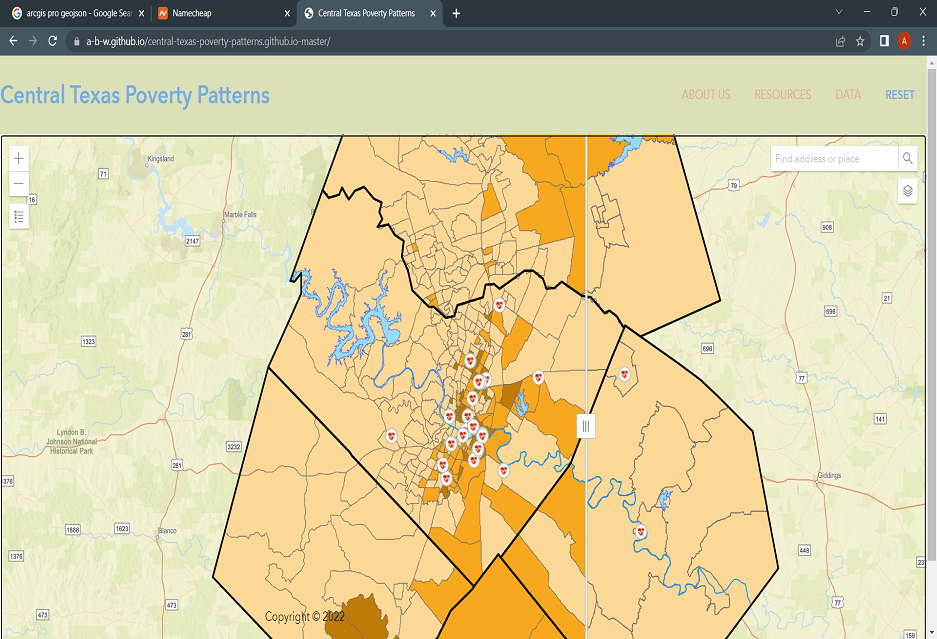
Central Texas Poverty Patterns is an interarctive webmap showcasing my webmapping and version control skillset. The Layers for this map where produced by cana Texas in collaboration with Carlos Soto. I was chosen to be the lead developer on the webmap which was a great introduction and learning experience.
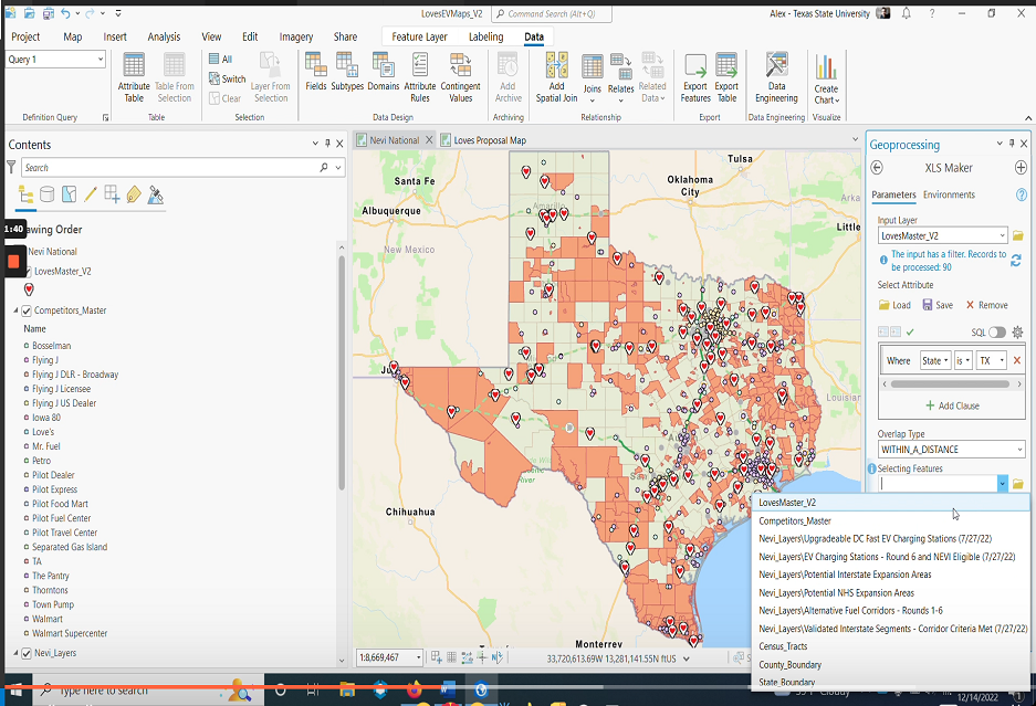
This is a small video tutorial showcasing a project I developed for Trillium Energy. In the video I run a python script I wrote to automate a geoprocessing workflow for the project. I also explain the basic layout and usage of ArcGIS Pro.
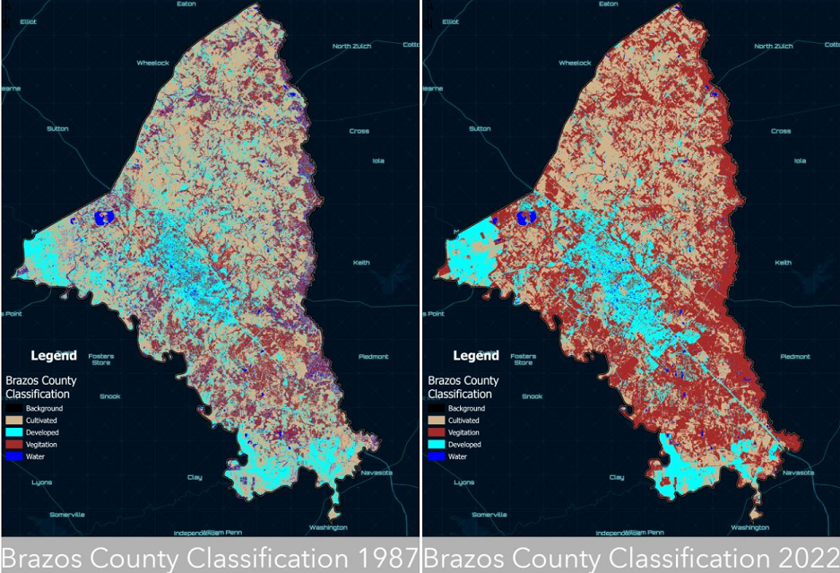
This story map was the magnum opus of my remote sensing course corriculum at Texas State University. The thematic maps where produced using a multi-date composite image principle component analysis. The results showed highlighted areas of siginficant urban build up, and the classification produced a modestly accurate land cover change summary statistics output.
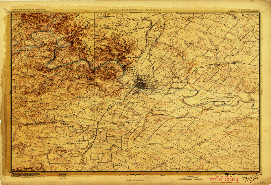
This is just a fun bumpafied map I produced for my atlas. It is a vintage topoquad of the Austin east quadrangle georefrenced and digitally enhanced using 3d analysis tools. This map definitly shows the prowess of ArcGIS Pro when it comes to cartographic design. Big shout out to Cartographer and Youtuber John Nelson for help in creating this map. You really cannot go wrong with any one of his tutorials if your looking to learn some fun things.